
Chwilio > Grid
Yn dangos 62101 i 62160 o 96344 fel tudalen
1036 o 1606
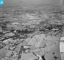
EAW030023
[1950]
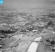
EAW030024
[1950]
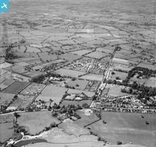
EAW030025
[1950]
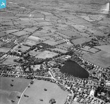
EAW030026
[1950]
EAW030027
[1950]
EAW030028
[1950]
EAW030029
[1950]

EAW030030
[1950]
EAW030031
[1950]
EAW030032
[1950]
EAW030033
[1950]
EAW030034
[1950]
EAW030035
[1950]
EAW030036
[1950]
EAW030037
[1950]
EAW030038
[1950]
EAW030039
[1950]
EAW030040
[1950]

EAW030041
[1950]
EAW030042
[1950]
EAW030043
[1950]
EAW030044
[1950]
EAW030045
[1950]
EAW030046
[1950]
EAW030047
[1950]
EAW030048
[1950]
EAW030049
[1950]

EAW030050
[1950]
EAW030051
[1950]
EAW030052
[1950]
EAW030053
[1950]
EAW030054
[1950]

EAW030055
[1950]
EAW030056
[1950]
EAW030057
[1950]
EAW030058
[1950]
EAW030059
[1950]

EAW030060
[1950]
EAW030061
[1950]

EAW030062
[1950]

EAW030064
[1950]
EAW030065
[1950]
EAW030066
[1950]

EAW030072
[1950]
EAW030073
[1950]
EAW030074
[1950]
EAW030075
[1950]
EAW030076
[1950]
EAW030077
[1950]
EAW030078
[1950]
EAW030079
[1950]

EAW030080
[1950]
EAW030081
[1950]
EAW030082
[1950]

EAW030083
[1950]

EAW030084
[1950]
EAW030085
[1950]

EAW030086
[1950]
EAW030087
[1950]
EAW030088
[1950]