
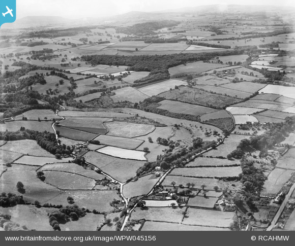
WPW045156 WALES (1934). View of landscape near Mostyn, oblique aerial view. 5"x4" black and white glass plate negative.
© Hawlfraint cyfranwyr OpenStreetMap a thrwyddedwyd gan yr OpenStreetMap Foundation. 2024. Trwyddedir y gartograffeg fel CC BY-SA.
Delweddau cyfagos (17)
WPW045134

WPW045135

WPW045136

WPW045137

WPW045138

WPW045139

WPW045140

WPW045141

WPW045142

WPW045150

WPW045151

WPW045152

WPW045153

WPW045154

WPW045155

WPW045156

WPW055767

Manylion
| Pennawd | [WPW045156] View of landscape near Mostyn, oblique aerial view. 5"x4" black and white glass plate negative. |
| Cyfeirnod | WPW045156 |
| Dyddiad | 1934 |
| Dolen | Coflein Archive Item 6369855 |
| Enw lle | |
| Plwyf | |
| Ardal | |
| Gwlad | WALES |
| Dwyreiniad / Gogleddiad | 316070, 380330 |
| Hydred / Lledred | -3.2599052538566, 53.312973713924 |
| Cyfeirnod Grid Cenedlaethol | SJ161803 |


