
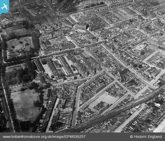
EPW036257 ENGLAND (1931). The Bethnal Green Estate and environs, Bethnal Green, 1931
© Hawlfraint cyfranwyr OpenStreetMap a thrwyddedwyd gan yr OpenStreetMap Foundation. 2024. Trwyddedir y gartograffeg fel CC BY-SA.
Delweddau cyfagos (7)
EPW036257

EPW036258

EPW036260

EPW036255

EPW036259

EPW036261

EPW036256

Manylion
| Pennawd | [EPW036257] The Bethnal Green Estate and environs, Bethnal Green, 1931 |
| Cyfeirnod | EPW036257 |
| Dyddiad | August-1931 |
| Dolen | |
| Enw lle | BETHNAL GREEN |
| Plwyf | |
| Ardal | |
| Gwlad | ENGLAND |
| Dwyreiniad / Gogleddiad | 535217, 182668 |
| Hydred / Lledred | -0.050594861114796, 51.5262338196 |
| Cyfeirnod Grid Cenedlaethol | TQ352827 |
Pinnau
 Robin |
Saturday 30th of November 2019 05:20:34 PM | |
216cal |
Tuesday 11th of December 2018 10:46:35 AM | |
billyfern |
Sunday 29th of June 2014 07:49:21 PM | |
billyfern |
Sunday 29th of June 2014 07:48:58 PM | |
 hillman34 |
Thursday 20th of June 2013 08:42:12 PM | |
Trebor |
Sunday 16th of December 2012 05:57:19 AM | |
Trebor |
Sunday 16th of December 2012 05:55:55 AM | |
Trebor |
Sunday 16th of December 2012 05:53:10 AM | |
Trebor |
Sunday 16th of December 2012 05:52:24 AM | |
Trebor |
Sunday 16th of December 2012 05:50:43 AM |


