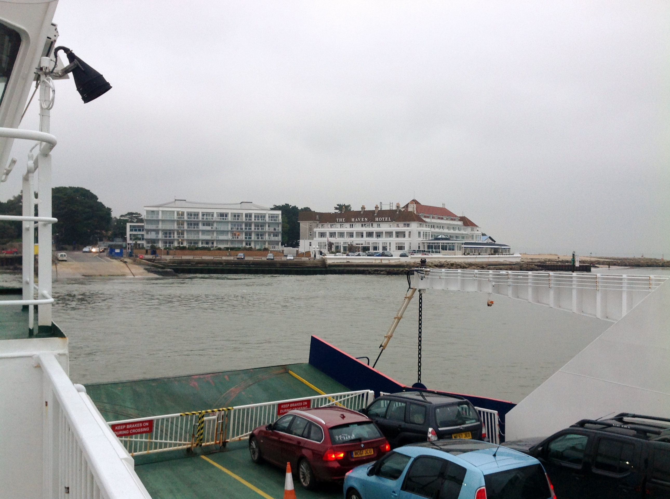
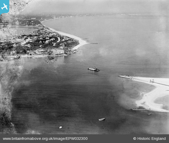
EPW032300 ENGLAND (1930). Poole Bay and the Sandbanks Chain Ferry operating between Sandbanks and Studland, Studland, from the west, 1930
© Hawlfraint cyfranwyr OpenStreetMap a thrwyddedwyd gan yr OpenStreetMap Foundation. 2024. Trwyddedir y gartograffeg fel CC BY-SA.
Delweddau cyfagos (8)
EPW032300

EPW032304

EPW032297

EAW049051

EPW032303

EPW032299

EPW032296

EAW010961

Manylion
| Pennawd | [EPW032300] Poole Bay and the Sandbanks Chain Ferry operating between Sandbanks and Studland, Studland, from the west, 1930 |
| Cyfeirnod | EPW032300 |
| Dyddiad | June-1930 |
| Dolen | |
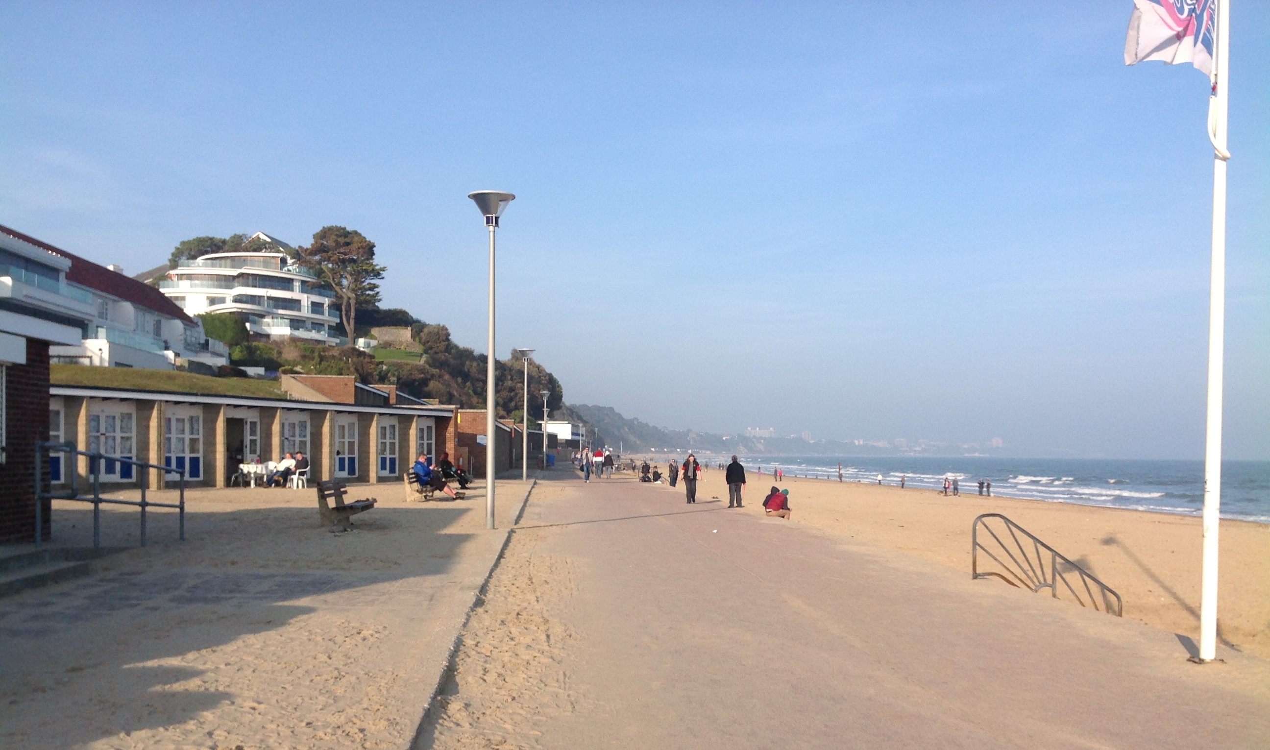
| Enw lle | STUDLAND |
| Plwyf | STUDLAND |
| Ardal | |
| Gwlad | ENGLAND |
| Dwyreiniad / Gogleddiad | 403525, 86760 |
| Hydred / Lledred | -1.9501022900915, 50.67990941205 |
| Cyfeirnod Grid Cenedlaethol | SZ035868 |
Pinnau
 kevtees |
Tuesday 4th of March 2014 03:42:37 PM | |
micky |
Thursday 3rd of January 2013 07:11:28 PM | |
No the best beach is Shell Bay. |
Neil |
Sunday 30th of November 2014 10:39:01 PM |
Studland beach is best via fire point 6 |
Al C |
Monday 6th of February 2017 12:05:16 AM |
 Class31 |
Monday 5th of November 2012 02:23:05 PM |