
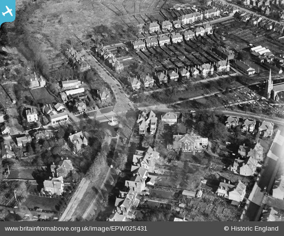
EPW025431 ENGLAND (1928). The Green and environs, Chingford Green, 1928
© Hawlfraint cyfranwyr OpenStreetMap a thrwyddedwyd gan yr OpenStreetMap Foundation. 2024. Trwyddedir y gartograffeg fel CC BY-SA.
Delweddau cyfagos (5)
EPW025431

EPW025426

EPW025432

EPW025366

EPW025368

Manylion
| Pennawd | [EPW025431] The Green and environs, Chingford Green, 1928 |
| Cyfeirnod | EPW025431 |
| Dyddiad | 8-November-1928 |
| Dolen | |
| Enw lle | CHINGFORD GREEN |
| Plwyf | |
| Ardal | |
| Gwlad | ENGLAND |
| Dwyreiniad / Gogleddiad | 538466, 194414 |
| Hydred / Lledred | 0.00084713834014607, 51.631006664083 |
| Cyfeirnod Grid Cenedlaethol | TQ385944 |


