EAW014543 ENGLAND (1948). The residential area surrounding Deckham and Shipcote, Gateshead, 1948

© Hawlfraint cyfranwyr OpenStreetMap a thrwyddedwyd gan yr OpenStreetMap Foundation. 2024. Trwyddedir y gartograffeg fel CC BY-SA.
Delweddau cyfagos (3)
EAW014543

EAW014542

EPW019829

Manylion
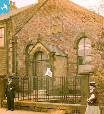
| Pennawd | [EAW014543] The residential area surrounding Deckham and Shipcote, Gateshead, 1948 |
| Cyfeirnod | EAW014543 |
| Dyddiad | 15-April-1948 |
| Dolen | |
| Enw lle | GATESHEAD |
| Plwyf | |
| Ardal | |
| Gwlad | ENGLAND |
| Dwyreiniad / Gogleddiad | 425965, 561781 |
| Hydred / Lledred | -1.5945616775894, 54.949924609094 |
| Cyfeirnod Grid Cenedlaethol | NZ260618 |
Pinnau
 dahlia46 |
Sunday 22nd of December 2019 06:51:17 PM | |
Phil c |
Thursday 12th of December 2019 05:51:29 PM | |
 Class31 |
Wednesday 20th of August 2014 09:36:12 AM | |
Class31 |
Wednesday 20th of August 2014 09:35:00 AM | |
 |
MethodistArchivist |
Wednesday 30th of July 2014 06:08:18 PM |
MethodistArchivist |
Wednesday 30th of July 2014 06:04:53 PM | |
MethodistArchivist |
Wednesday 30th of July 2014 06:03:19 PM | |
MethodistArchivist |
Wednesday 30th of July 2014 06:01:02 PM | |
MethodistArchivist |
Wednesday 30th of July 2014 05:59:43 PM | |
MethodistArchivist |
Wednesday 30th of July 2014 05:57:23 PM | |
MethodistArchivist |
Wednesday 30th of July 2014 05:55:37 PM | |
MethodistArchivist |
Wednesday 30th of July 2014 05:44:06 PM |