
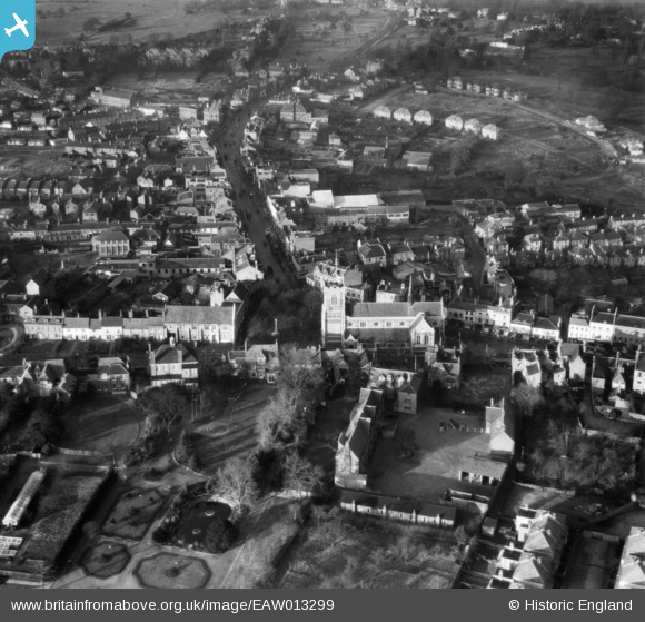
EAW013299 ENGLAND (1948). St John the Baptist's Church and environs, Barnet, 1948
© Hawlfraint cyfranwyr OpenStreetMap a thrwyddedwyd gan yr OpenStreetMap Foundation. 2024. Trwyddedir y gartograffeg fel CC BY-SA.
Delweddau cyfagos (8)
EAW013299

EPW013419

EPW001548

EPW001544

EAW013298

EAW053311

EPW013420

EPW061333

Manylion
| Pennawd | [EAW013299] St John the Baptist's Church and environs, Barnet, 1948 |
| Cyfeirnod | EAW013299 |
| Dyddiad | 12-February-1948 |
| Dolen | |
| Enw lle | BARNET |
| Plwyf | |
| Ardal | |
| Gwlad | ENGLAND |
| Dwyreiniad / Gogleddiad | 524532, 196460 |
| Hydred / Lledred | -0.19965918413971, 51.652653363976 |
| Cyfeirnod Grid Cenedlaethol | TQ245965 |
Pinnau
 Matt Aldred edob.mattaldred.com |
Thursday 7th of March 2024 01:25:50 PM | |
Matt Aldred edob.mattaldred.com |
Thursday 7th of March 2024 01:25:37 PM | |
Matt Aldred edob.mattaldred.com |
Thursday 7th of March 2024 01:24:48 PM | |
 Nowy Paul |
Sunday 18th of March 2018 11:46:28 AM |


