
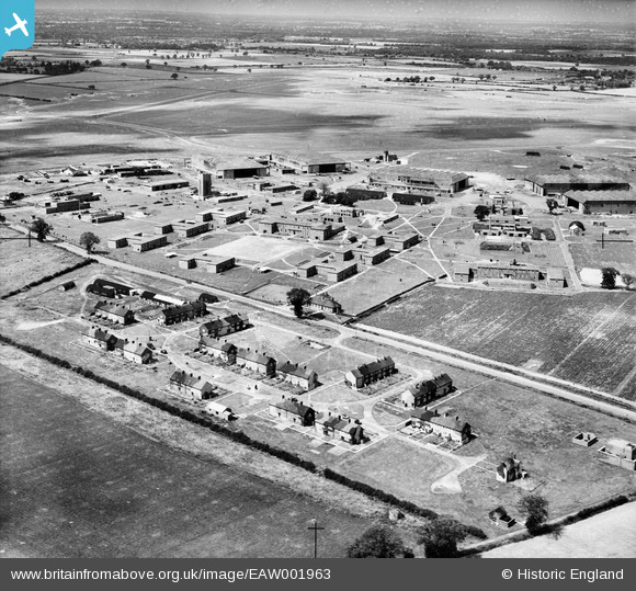
EAW001963 ENGLAND (1946). RAF Horsham St Faith, Norwich, from the south-east, 1946
© Hawlfraint cyfranwyr OpenStreetMap a thrwyddedwyd gan yr OpenStreetMap Foundation. 2024. Trwyddedir y gartograffeg fel CC BY-SA.
Delweddau cyfagos (8)
EAW001963

EAW001958

EAW002907

EAW001962

EAW002905

EAW002908

EAW002904

EAW001957

Manylion
| Pennawd | [EAW001963] RAF Horsham St Faith, Norwich, from the south-east, 1946 |
| Cyfeirnod | EAW001963 |
| Dyddiad | 25-July-1946 |
| Dolen | |
| Enw lle | NORWICH |
| Plwyf | |
| Ardal | |
| Gwlad | ENGLAND |
| Dwyreiniad / Gogleddiad | 622386, 312408 |
| Hydred / Lledred | 1.2890088871379, 52.663345070094 |
| Cyfeirnod Grid Cenedlaethol | TG224124 |
Pinnau
 redmist |
Tuesday 23rd of November 2021 07:55:43 PM | |
 Matt Aldred edob.mattaldred.com |
Tuesday 24th of November 2020 10:31:25 PM | |
Matt Aldred edob.mattaldred.com |
Tuesday 24th of November 2020 10:29:51 PM | |
Sparky |
Monday 18th of September 2017 10:37:08 PM | |
Effemess |
Friday 15th of April 2016 11:17:51 PM |


