
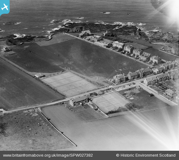
spw027382 SCOTLAND (1929). Winterfield Park Playing Fields, North Road, Dunbar. An oblique aerial photograph taken facing north.
© Copyright OpenStreetMap contributors and licensed by the OpenStreetMap Foundation. 2025. Cartography is licensed as CC BY-SA.
Details
| Title | [SPW027382] Winterfield Park Playing Fields, North Road, Dunbar. An oblique aerial photograph taken facing north. |
| Reference | SPW027382 |
| Date | 1929 |
| Link | NRHE Collection item 1256873 |
| Place name | |
| Parish | DUNBAR |
| District | EAST LOTHIAN |
| Country | SCOTLAND |
| Easting / Northing | 367218, 679233 |
| Longitude / Latitude | -2.5257447615515, 56.00496401126 |
| National Grid Reference | NT672792 |
Pins
Be the first to add a comment to this image!