
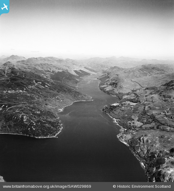
saw029869 SCOTLAND (1950). Loch Long, general view, showing Meall Daraich and Glen Mallan. An oblique aerial photograph taken facing north.
© Copyright OpenStreetMap contributors and licensed by the OpenStreetMap Foundation. 2025. Cartography is licensed as CC BY-SA.
Details
| Title | [SAW029869] Loch Long, general view, showing Meall Daraich and Glen Mallan. An oblique aerial photograph taken facing north. |
| Reference | SAW029869 |
| Date | 1950 |
| Link | NRHE Collection item 1269516 |
| Place name | |
| Parish | LUSS |
| District | DUMBARTON |
| Country | SCOTLAND |
| Easting / Northing | 224953, 696714 |
| Longitude / Latitude | -4.8169275799306, 56.131047329755 |
| National Grid Reference | NS250967 |
