
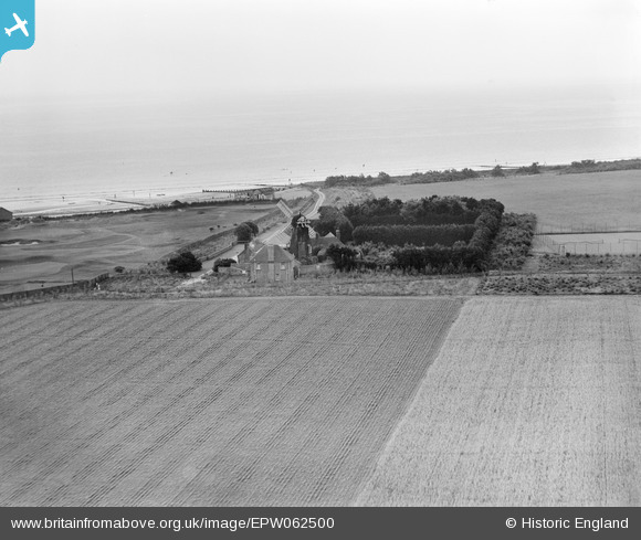
epw062500 ENGLAND (1939). The Mill House Windmill, Climping, 1939
© Copyright OpenStreetMap contributors and licensed by the OpenStreetMap Foundation. 2026. Cartography is licensed as CC BY-SA.
Nearby Images (7)
EPW062500

EAW046500

EAW046502

EAW046501

EPW062501

EPW062502

EPW062499

Details
| Title | [EPW062500] The Mill House Windmill, Climping, 1939 |
| Reference | EPW062500 |
| Date | 13-August-1939 |
| Link | |
| Place name | CLIMPING |
| Parish | CLIMPING |
| District | |
| Country | ENGLAND |
| Easting / Northing | 501565, 101233 |
| Longitude / Latitude | -0.55856057588961, 50.80118036912 |
| National Grid Reference | TQ016012 |
Pins

totoro |
Tuesday 21st of October 2014 06:59:47 PM | |
|
totoro |
Monday 9th of September 2013 10:10:31 PM |