
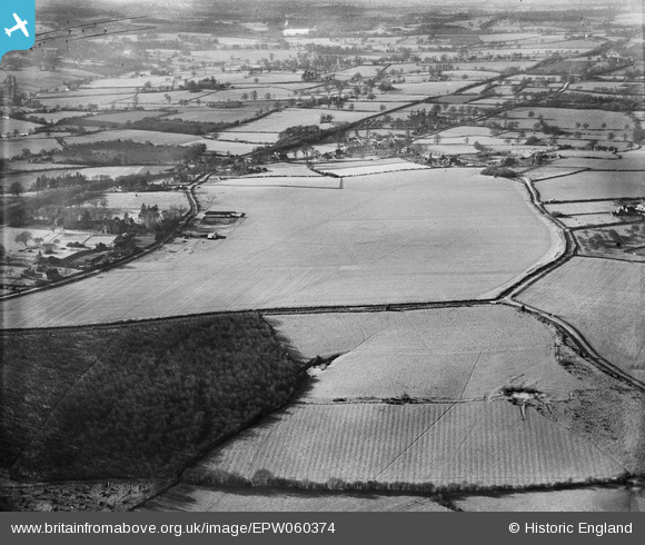
epw060374 ENGLAND (1939). The site of Penshurst Airfield, Charcott, 1939
© Copyright OpenStreetMap contributors and licensed by the OpenStreetMap Foundation. 2026. Cartography is licensed as CC BY-SA.
Details
| Title | [EPW060374] The site of Penshurst Airfield, Charcott, 1939 |
| Reference | EPW060374 |
| Date | 13-January-1939 |
| Link | |
| Place name | CHARCOTT |
| Parish | LEIGH |
| District | |
| Country | ENGLAND |
| Easting / Northing | 552445, 146787 |
| Longitude / Latitude | 0.18221026975603, 51.199413633129 |
| National Grid Reference | TQ524468 |
Pins
Be the first to add a comment to this image!