
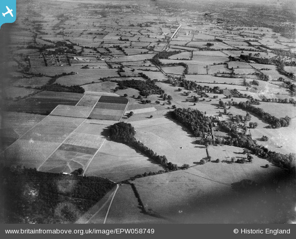
epw058749 ENGLAND (1938). Countryside surrounding Pyrgo Park, Havering-atte-Bower, from the north 1938
© Copyright OpenStreetMap contributors and licensed by the OpenStreetMap Foundation. 2026. Cartography is licensed as CC BY-SA.
Details
| Title | [EPW058749] Countryside surrounding Pyrgo Park, Havering-atte-Bower, from the north 1938 |
| Reference | EPW058749 |
| Date | 23-August-1938 |
| Link | |
| Place name | HAVERING-ATTE-BOWER |
| Parish | |
| District | |
| Country | ENGLAND |
| Easting / Northing | 552283, 194082 |
| Longitude / Latitude | 0.20020837415609, 51.624452904332 |
| National Grid Reference | TQ523941 |
Pins
Be the first to add a comment to this image!