
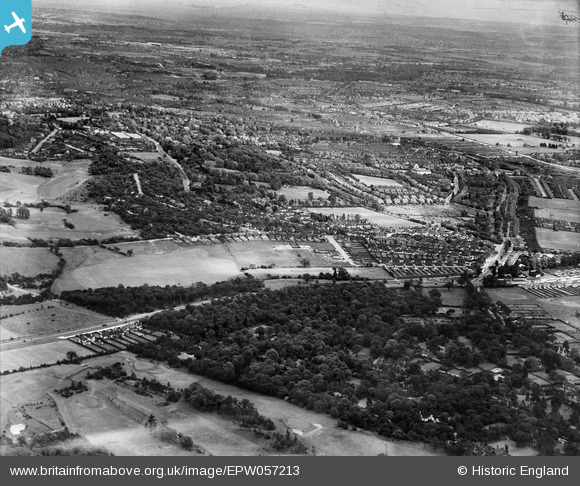
epw057213 ENGLAND (1938). Coombe Hill Wood, Copse Hill and environs, Wimbledon, from the west, 1938
© Copyright OpenStreetMap contributors and licensed by the OpenStreetMap Foundation. 2025. Cartography is licensed as CC BY-SA.
Nearby Images (4)
EPW057213

EPW057206

EPW057207

EPW016630

Details
| Title | [EPW057213] Coombe Hill Wood, Copse Hill and environs, Wimbledon, from the west, 1938 |
| Reference | EPW057213 |
| Date | 26-May-1938 |
| Link | |
| Place name | WIMBLEDON |
| Parish | |
| District | |
| Country | ENGLAND |
| Easting / Northing | 521900, 170229 |
| Longitude / Latitude | -0.24677413276769, 51.417460433641 |
| National Grid Reference | TQ219702 |
Pins

Arthur |
Thursday 9th of June 2016 10:30:39 AM | |
|
Arthur |
Thursday 9th of June 2016 10:28:31 AM | |
|
Arthur |
Thursday 9th of June 2016 10:27:35 AM | |
|
Arthur |
Thursday 9th of June 2016 10:27:10 AM | |
|
Arthur |
Thursday 9th of June 2016 10:25:43 AM | |
|
Arthur |
Thursday 9th of June 2016 10:22:01 AM | |
|
Arthur |
Thursday 9th of June 2016 10:20:21 AM |