
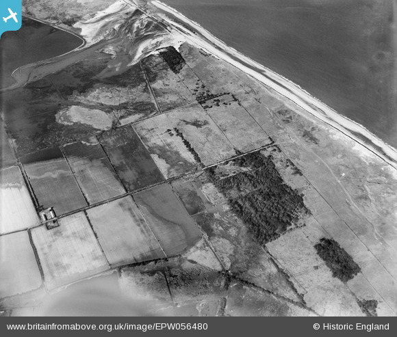
epw056480 ENGLAND (1938). South Wood and the Norfolk coastline, Winterton Ness, 1938
© Copyright OpenStreetMap contributors and licensed by the OpenStreetMap Foundation. 2025. Cartography is licensed as CC BY-SA.
Nearby Images (2)
EPW056480

EPW056472

Details
| Title | [EPW056480] South Wood and the Norfolk coastline, Winterton Ness, 1938 |
| Reference | EPW056480 |
| Date | 12-March-1938 |
| Link | |
| Place name | WINTERTON NESS |
| Parish | WINTERTON-ON-SEA |
| District | |
| Country | ENGLAND |
| Easting / Northing | 648160, 321657 |
| Longitude / Latitude | 1.6763641071744, 52.735148705049 |
| National Grid Reference | TG482217 |
Pins
Be the first to add a comment to this image!