
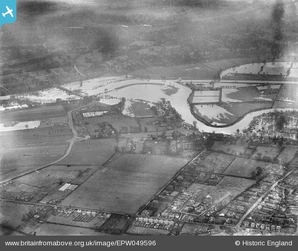
epw049596 ENGLAND (1936). Thames Meadow and the River Thames in flood, Lower Halliford, from the north-west, 1936
© Copyright OpenStreetMap contributors and licensed by the OpenStreetMap Foundation. 2026. Cartography is licensed as CC BY-SA.
Details
| Title | [EPW049596] Thames Meadow and the River Thames in flood, Lower Halliford, from the north-west, 1936 |
| Reference | EPW049596 |
| Date | January-1936 |
| Link | |
| Place name | LOWER HALLIFORD |
| Parish | |
| District | |
| Country | ENGLAND |
| Easting / Northing | 508513, 167268 |
| Longitude / Latitude | -0.4401371572649, 51.393564298949 |
| National Grid Reference | TQ085673 |
Pins

Brian |
Tuesday 10th of February 2015 05:49:19 PM | |
|
David960 |
Sunday 25th of January 2015 06:10:58 PM | |
|
David960 |
Sunday 25th of January 2015 06:10:37 PM | |
|
bumblee |
Friday 11th of October 2013 06:18:37 PM | |
|
bumblee |
Friday 11th of October 2013 06:14:43 PM | |
|
bumblee |
Friday 11th of October 2013 06:13:52 PM | |
|
bumblee |
Friday 11th of October 2013 06:12:04 PM |