
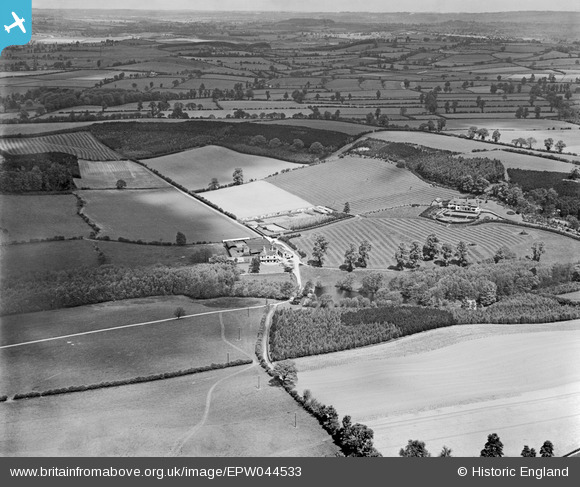
epw044533 ENGLAND (1934). Wannerton Farm, Wannerton House and surrounding countryside, Blakedown, from the south, 1934
© Copyright OpenStreetMap contributors and licensed by the OpenStreetMap Foundation. 2025. Cartography is licensed as CC BY-SA.
Nearby Images (6)
EPW044533

EPW044527

EPW044530

EPW044536

EPW044534

EPW044529

Details
| Title | [EPW044533] Wannerton Farm, Wannerton House and surrounding countryside, Blakedown, from the south, 1934 |
| Reference | EPW044533 |
| Date | May-1934 |
| Link | |
| Place name | BLAKEDOWN |
| Parish | CHURCHILL AND BLAKEDOWN |
| District | |
| Country | ENGLAND |
| Easting / Northing | 386903, 278022 |
| Longitude / Latitude | -2.1925154452804, 52.399676803949 |
| National Grid Reference | SO869780 |
Pins
Be the first to add a comment to this image!