
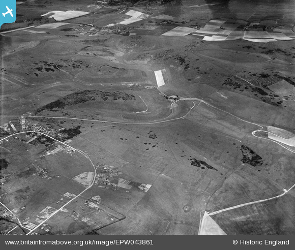
epw043861 ENGLAND (1934). The Bostle, Standean Bottom and environs, Woodingdean, 1934
© Copyright OpenStreetMap contributors and licensed by the OpenStreetMap Foundation. 2025. Cartography is licensed as CC BY-SA.
Details
| Title | [EPW043861] The Bostle, Standean Bottom and environs, Woodingdean, 1934 |
| Reference | EPW043861 |
| Date | March-1934 |
| Link | |
| Place name | WOODINGDEAN |
| Parish | |
| District | |
| Country | ENGLAND |
| Easting / Northing | 537262, 105652 |
| Longitude / Latitude | -0.050557183139935, 50.833542797233 |
| National Grid Reference | TQ373057 |
Pins
Be the first to add a comment to this image!