
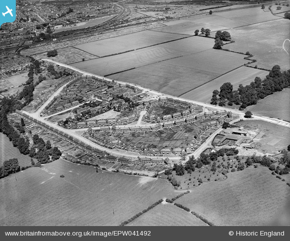
epw041492 ENGLAND (1933). Housing estate at Coney Hill, Gloucester, 1933
© Copyright OpenStreetMap contributors and licensed by the OpenStreetMap Foundation. 2026. Cartography is licensed as CC BY-SA.
Details
| Title | [EPW041492] Housing estate at Coney Hill, Gloucester, 1933 |
| Reference | EPW041492 |
| Date | June-1933 |
| Link | |
| Place name | GLOUCESTER |
| Parish | |
| District | |
| Country | ENGLAND |
| Easting / Northing | 385221, 217002 |
| Longitude / Latitude | -2.214587663767, 51.850973538495 |
| National Grid Reference | SO852170 |
Pins

James Faragher |
Friday 11th of May 2018 11:28:52 AM | |
|
bubble |
Sunday 27th of August 2017 07:03:08 PM | |
|
bubble |
Sunday 27th of August 2017 06:59:35 PM | |
|
Richcl |
Sunday 5th of May 2013 03:32:16 PM | |
|
Richcl |
Sunday 5th of May 2013 03:31:00 PM | |
|
Richcl |
Sunday 5th of May 2013 03:30:41 PM | |
|
Richcl |
Sunday 5th of May 2013 03:30:26 PM |