
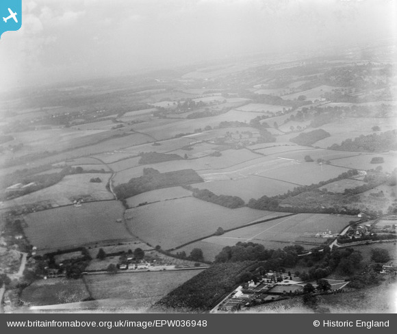
epw036948 ENGLAND (1931). Grub Wood and surrounding countryside, Lower Kingswood, from the south-west, 1931
© Copyright OpenStreetMap contributors and licensed by the OpenStreetMap Foundation. 2025. Cartography is licensed as CC BY-SA.
Details
| Title | [EPW036948] Grub Wood and surrounding countryside, Lower Kingswood, from the south-west, 1931 |
| Reference | EPW036948 |
| Date | October-1931 |
| Link | |
| Place name | LOWER KINGSWOOD |
| Parish | |
| District | |
| Country | ENGLAND |
| Easting / Northing | 525255, 153822 |
| Longitude / Latitude | -0.20432009100567, 51.269257693268 |
| National Grid Reference | TQ253538 |
Pins

SueG |
Tuesday 9th of December 2014 03:09:15 PM | |
|
SueG |
Tuesday 9th of December 2014 03:07:45 PM | |
|
SueG |
Tuesday 9th of December 2014 03:05:13 PM | |
|
SueG |
Tuesday 9th of December 2014 03:04:43 PM | |
|
SueG |
Tuesday 9th of December 2014 03:03:58 PM |