
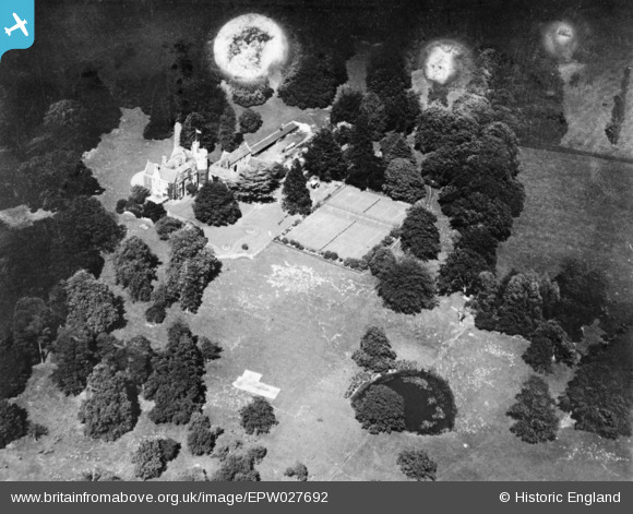
epw027692 ENGLAND (1929). Heronden Hall, Tenterden, 1929. This image has been produced from a damaged copy-negative.
© Copyright OpenStreetMap contributors and licensed by the OpenStreetMap Foundation. 2026. Cartography is licensed as CC BY-SA.
Details
| Title | [EPW027692] Heronden Hall, Tenterden, 1929. This image has been produced from a damaged copy-negative. |
| Reference | EPW027692 |
| Date | 23-June-1929 |
| Link | |
| Place name | TENTERDEN |
| Parish | TENTERDEN |
| District | |
| Country | ENGLAND |
| Easting / Northing | 587783, 132709 |
| Longitude / Latitude | 0.6801896472006, 51.062426926366 |
| National Grid Reference | TQ878327 |
Pins
Be the first to add a comment to this image!