
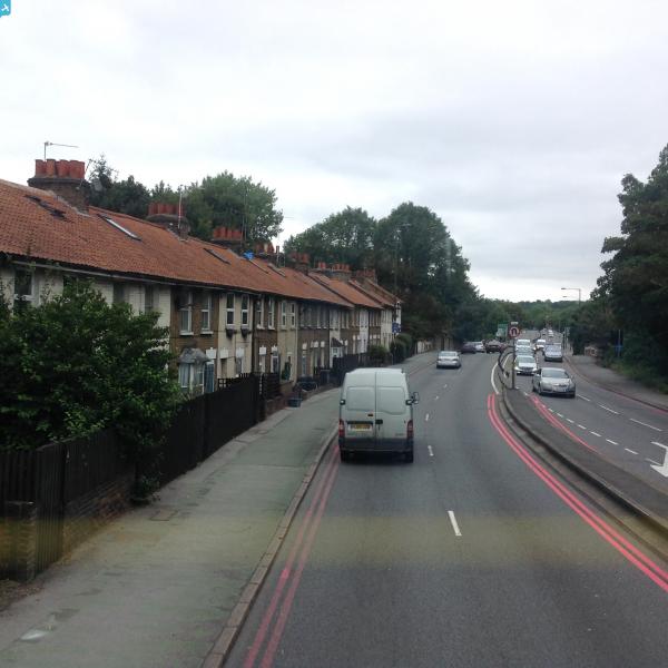
epw020674 ENGLAND (1928). The Kingston Bypass and Beverley Cottages, Kingston Vale, 1928

© Copyright OpenStreetMap contributors and licensed by the OpenStreetMap Foundation. 2025. Cartography is licensed as CC BY-SA.
Details
| Title | [EPW020674] The Kingston Bypass and Beverley Cottages, Kingston Vale, 1928 |
| Reference | EPW020674 |
| Date | March-1928 |
| Link | |
| Place name | KINGSTON VALE |
| Parish | |
| District | |
| Country | ENGLAND |
| Easting / Northing | 521320, 172139 |
| Longitude / Latitude | -0.25445763773031, 51.434752807917 |
| National Grid Reference | TQ213721 |
Pins

User Comment Contributions
The by-pass here looks like it only has traffic going one way - was this the case? |
 kjc |
Monday 28th of April 2014 10:31:24 AM |