
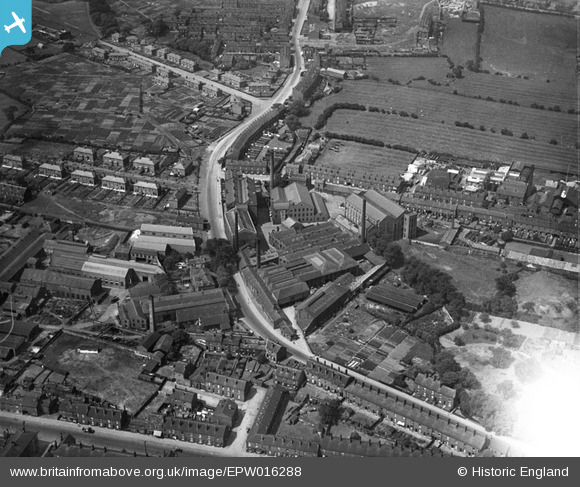
epw016288 ENGLAND (1926). Westgate Common Worsted Mills and Westgate Common Foundry, Wakefield, 1926
© Copyright OpenStreetMap contributors and licensed by the OpenStreetMap Foundation. 2024. Cartography is licensed as CC BY-SA.
Details
| Title | [EPW016288] Westgate Common Worsted Mills and Westgate Common Foundry, Wakefield, 1926 |
| Reference | EPW016288 |
| Date | 14-July-1926 |
| Link | |
| Place name | WAKEFIELD |
| Parish | |
| District | |
| Country | ENGLAND |
| Easting / Northing | 432048, 420602 |
| Longitude / Latitude | -1.5147446511484, 53.68066714575 |
| National Grid Reference | SE320206 |
Pins
Be the first to add a comment to this image!


