
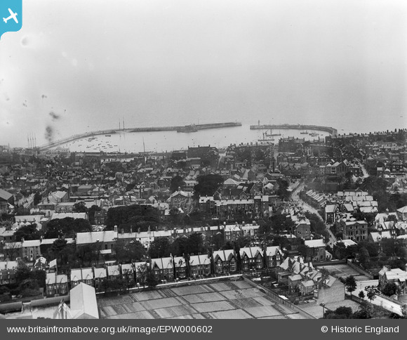
epw000602 ENGLAND (1920). Ramsgate, from the north-west, 1920
© Copyright OpenStreetMap contributors and licensed by the OpenStreetMap Foundation. 2026. Cartography is licensed as CC BY-SA.
Details
| Title | [EPW000602] Ramsgate, from the north-west, 1920 |
| Reference | EPW000602 |
| Date | April-1920 |
| Link | |
| Place name | RAMSGATE |
| Parish | RAMSGATE |
| District | |
| Country | ENGLAND |
| Easting / Northing | 637897, 165097 |
| Longitude / Latitude | 1.4157056626098, 51.334605016002 |
| National Grid Reference | TR379651 |
Pins

Stu Giles |
Tuesday 1st of November 2022 08:18:25 PM | |
|
Andyreno205 |
Wednesday 19th of January 2022 03:06:17 PM | |
|
Andyreno205 |
Wednesday 19th of January 2022 03:05:29 PM | |
|
Andyreno205 |
Wednesday 19th of January 2022 03:04:10 PM | |
|
Andyreno205 |
Wednesday 19th of January 2022 02:51:25 PM | |
|
Andyreno205 |
Wednesday 19th of January 2022 02:50:19 PM | |
|
Andyreno205 |
Wednesday 19th of January 2022 02:44:03 PM | |

Alan McFaden |
Thursday 4th of December 2014 09:51:49 PM | |
|
EZTD |
Monday 2nd of July 2012 09:59:01 PM | |
|
EZTD |
Monday 2nd of July 2012 09:57:45 PM |

User Comment Contributions
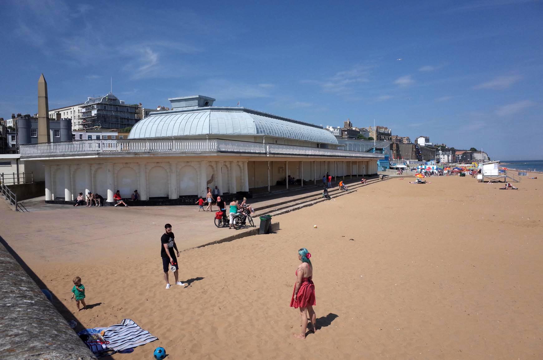
Ramsgate Beach |
Alan McFaden |
Thursday 4th of December 2014 09:52:20 PM |
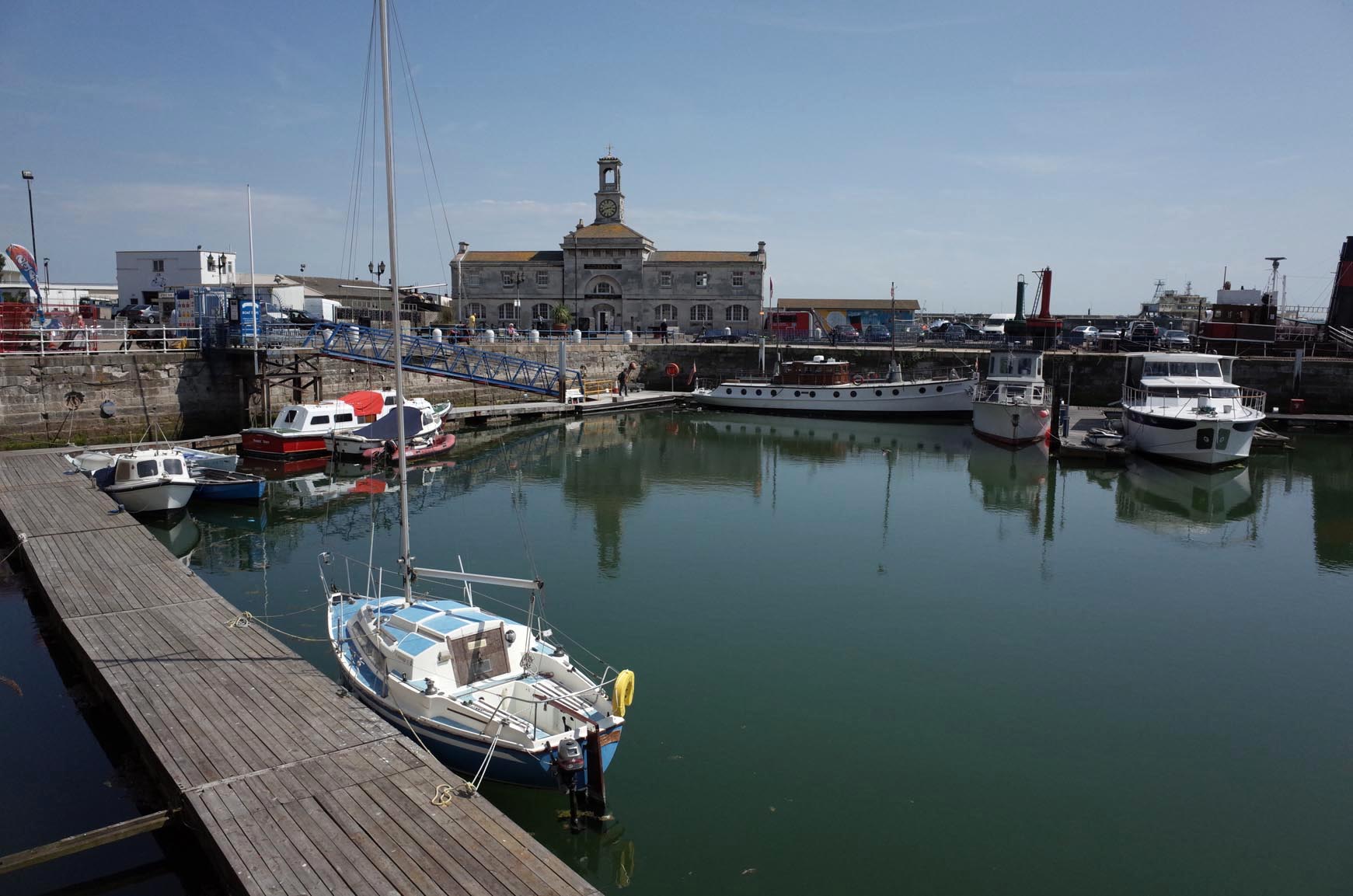
Ramsgate Harbour |
Alan McFaden |
Thursday 4th of December 2014 09:51:04 PM |