
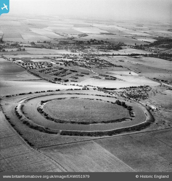
eaw051979 ENGLAND (1953). Figsbury Ring and the barracks at Winterbourne Gunner, Figsbury Ring, from the south-east, 1953
© Copyright OpenStreetMap contributors and licensed by the OpenStreetMap Foundation. 2026. Cartography is licensed as CC BY-SA.
Nearby Images (2)
EAW051979

EAW051980

Details
| Title | [EAW051979] Figsbury Ring and the barracks at Winterbourne Gunner, Figsbury Ring, from the south-east, 1953 |
| Reference | EAW051979 |
| Date | 5-September-1953 |
| Link | |
| Place name | FIGSBURY RING |
| Parish | FIRSDOWN |
| District | |
| Country | ENGLAND |
| Easting / Northing | 418908, 133752 |
| Longitude / Latitude | -1.7299185924252, 51.102228136405 |
| National Grid Reference | SU189338 |
