
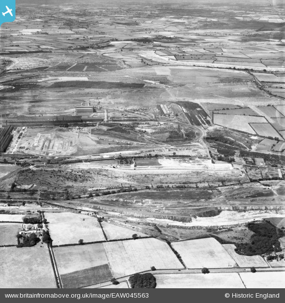
eaw045563 ENGLAND (1952). Ironstone quarries betwwn Weldon and Corby, Weldon, from the south-east, 1952
© Copyright OpenStreetMap contributors and licensed by the OpenStreetMap Foundation. 2026. Cartography is licensed as CC BY-SA.
Details
| Title | [EAW045563] Ironstone quarries betwwn Weldon and Corby, Weldon, from the south-east, 1952 |
| Reference | EAW045563 |
| Date | 19-July-1952 |
| Link | |
| Place name | WELDON |
| Parish | WELDON |
| District | |
| Country | ENGLAND |
| Easting / Northing | 491595, 288892 |
| Longitude / Latitude | -0.65084247858261, 52.48987444532 |
| National Grid Reference | SP916889 |
Pins
Be the first to add a comment to this image!