
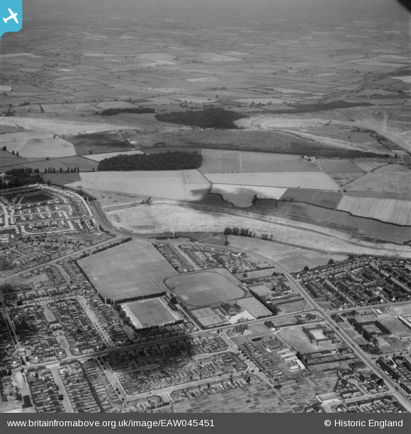
eaw045451 ENGLAND (1952). Occupation Road Football Ground and the surrounding residential area, Corby, from the south, 1952
© Copyright OpenStreetMap contributors and licensed by the OpenStreetMap Foundation. 2026. Cartography is licensed as CC BY-SA.
Details
| Title | [EAW045451] Occupation Road Football Ground and the surrounding residential area, Corby, from the south, 1952 |
| Reference | EAW045451 |
| Date | 6-August-1952 |
| Link | |
| Place name | CORBY |
| Parish | |
| District | |
| Country | ENGLAND |
| Easting / Northing | 488853, 289760 |
| Longitude / Latitude | -0.69098771104963, 52.498130145901 |
| National Grid Reference | SP889898 |
Pins
Be the first to add a comment to this image!