
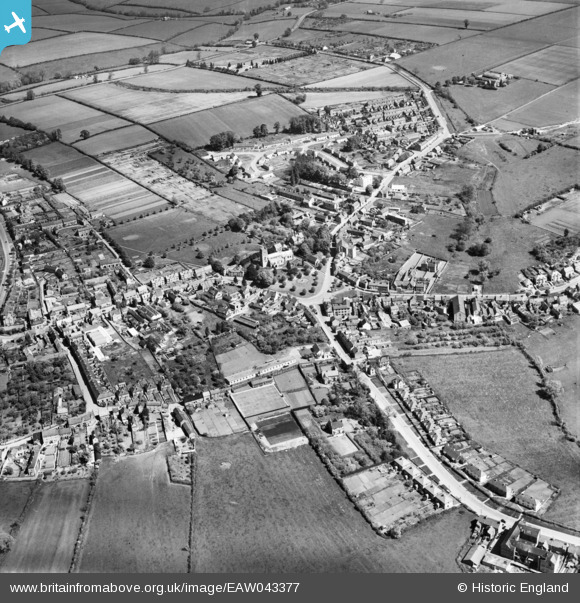
eaw043377 ENGLAND (1952). The village, Earls Barton, 1952
© Copyright OpenStreetMap contributors and licensed by the OpenStreetMap Foundation. 2026. Cartography is licensed as CC BY-SA.
Nearby Images (2)
EAW043377

EAW043378

Details
| Title | [EAW043377] The village, Earls Barton, 1952 |
| Reference | EAW043377 |
| Date | 13-May-1952 |
| Link | |
| Place name | EARLS BARTON |
| Parish | EARLS BARTON |
| District | |
| Country | ENGLAND |
| Easting / Northing | 485186, 263754 |
| Longitude / Latitude | -0.75160849398471, 52.264947160034 |
| National Grid Reference | SP852638 |
Pins
Be the first to add a comment to this image!