
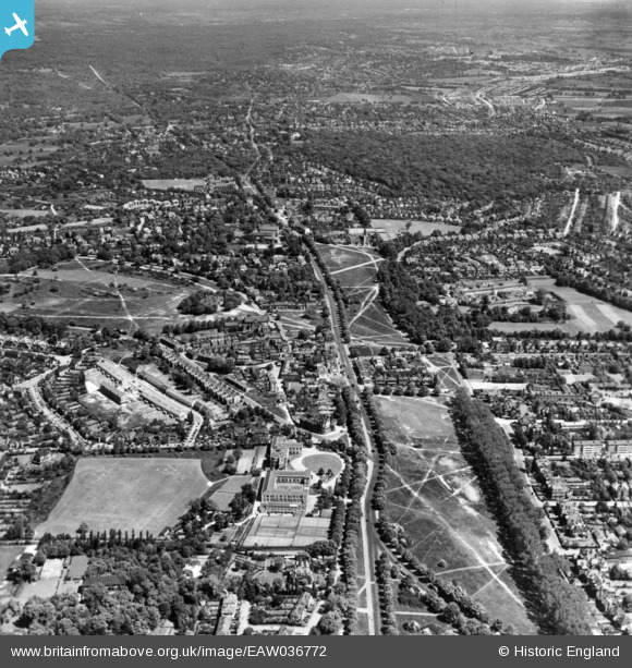
eaw036772 ENGLAND (1951). High Road and The Green, Woodford Green, from the south-west, 1951. This image has been produced from a print.
© Copyright OpenStreetMap contributors and licensed by the OpenStreetMap Foundation. 2026. Cartography is licensed as CC BY-SA.
Nearby Images (2)
EAW036772

EAW036773

Details
| Title | [EAW036772] High Road and The Green, Woodford Green, from the south-west, 1951. This image has been produced from a print. |
| Reference | EAW036772 |
| Date | 5-June-1951 |
| Link | |
| Place name | WOODFORD GREEN |
| Parish | |
| District | |
| Country | ENGLAND |
| Easting / Northing | 539937, 191779 |
| Longitude / Latitude | 0.021036484293896, 51.606962637735 |
| National Grid Reference | TQ399918 |
Pins

Gerard |
Wednesday 30th of April 2025 05:15:16 PM | |
|
Gerard |
Wednesday 30th of April 2025 05:15:06 PM | |
|
Gerard |
Wednesday 30th of April 2025 05:12:04 PM | |
|
Michael |
Friday 1st of May 2015 03:44:47 PM | |
 8-2007.JPG)
Keith |
Sunday 16th of November 2014 07:47:41 PM | |
|
Keith |
Sunday 16th of November 2014 07:42:31 PM | |
|
Keith |
Sunday 16th of November 2014 07:40:51 PM | |
|
Keith |
Sunday 16th of November 2014 07:39:42 PM |