
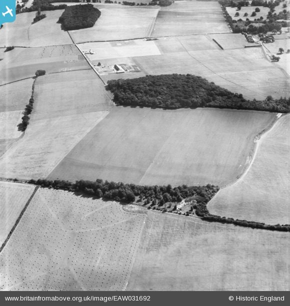
eaw031692 ENGLAND (1950). Channy Grove and fields by the Grassland Research Institute Farm, Hurley, 1950
© Copyright OpenStreetMap contributors and licensed by the OpenStreetMap Foundation. 2025. Cartography is licensed as CC BY-SA.
Details
| Title | [EAW031692] Channy Grove and fields by the Grassland Research Institute Farm, Hurley, 1950 |
| Reference | EAW031692 |
| Date | 4-August-1950 |
| Link | |
| Place name | HURLEY |
| Parish | HURLEY |
| District | |
| Country | ENGLAND |
| Easting / Northing | 481470, 182084 |
| Longitude / Latitude | -0.82536019877405, 51.531299142124 |
| National Grid Reference | SU815821 |
Pins
Be the first to add a comment to this image!