
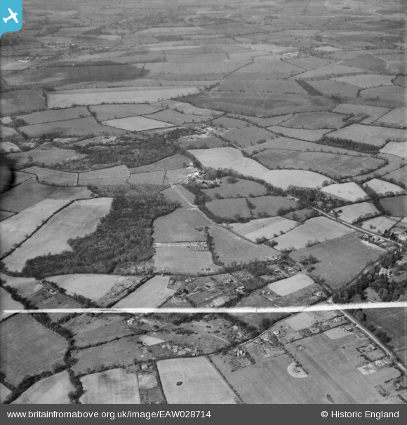
eaw028714 ENGLAND (1950). The Clapgate Estate, Courtfield Wood and surrounding countryside, Stondon Massey, from the south, 1950. This image was marked by Aerofilms Ltd for photo editing.
© Copyright OpenStreetMap contributors and licensed by the OpenStreetMap Foundation. 2025. Cartography is licensed as CC BY-SA.
Details
| Title | [EAW028714] The Clapgate Estate, Courtfield Wood and surrounding countryside, Stondon Massey, from the south, 1950. This image was marked by Aerofilms Ltd for photo editing. |
| Reference | EAW028714 |
| Date | 20-April-1950 |
| Link | |
| Place name | STONDON MASSEY |
| Parish | STONDON MASSEY |
| District | |
| Country | ENGLAND |
| Easting / Northing | 557352, 200530 |
| Longitude / Latitude | 0.27628665767988, 51.680994658036 |
| National Grid Reference | TL574005 |
Pins
Be the first to add a comment to this image!