
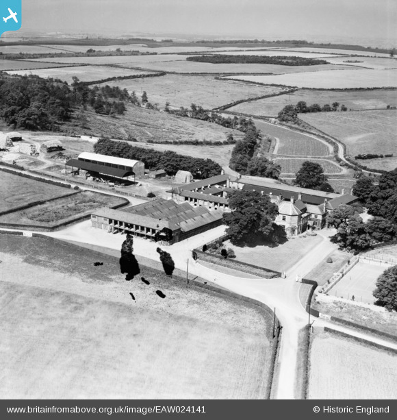
eaw024141 ENGLAND (1949). Cavendish Lodge, Kings Clipstone, from the east, 1949. This image has been produced from a damaged negative.
© Copyright OpenStreetMap contributors and licensed by the OpenStreetMap Foundation. 2025. Cartography is licensed as CC BY-SA.
Nearby Images (4)
EAW024141

EAW024140

EAW024138

EAW024139

Details
| Title | [EAW024141] Cavendish Lodge, Kings Clipstone, from the east, 1949. This image has been produced from a damaged negative. |
| Reference | EAW024141 |
| Date | 22-June-1949 |
| Link | |
| Place name | KINGS CLIPSTONE |
| Parish | CLIPSTONE |
| District | |
| Country | ENGLAND |
| Easting / Northing | 459323, 364924 |
| Longitude / Latitude | -1.1122916688685, 53.177821780172 |
| National Grid Reference | SK593649 |
Pins
Be the first to add a comment to this image!