
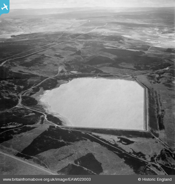
eaw023003 ENGLAND (1949). Smiddy Shaw Reservoir, Muggleswick Common, 1949
© Copyright OpenStreetMap contributors and licensed by the OpenStreetMap Foundation. 2026. Cartography is licensed as CC BY-SA.
Details
| Title | [EAW023003] Smiddy Shaw Reservoir, Muggleswick Common, 1949 |
| Reference | EAW023003 |
| Date | 9-May-1949 |
| Link | |
| Place name | MUGGLESWICK COMMON |
| Parish | MUGGLESWICK |
| District | |
| Country | ENGLAND |
| Easting / Northing | 404108, 546088 |
| Longitude / Latitude | -1.9360771418378, 54.809544469627 |
| National Grid Reference | NZ041461 |
Pins

totoro |
Friday 17th of July 2015 09:08:55 PM | |
|
totoro |
Friday 17th of July 2015 09:07:14 PM |