
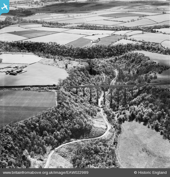
eaw022989 ENGLAND (1949). Hownsgill Viaduct, Castleside, 1949
© Copyright OpenStreetMap contributors and licensed by the OpenStreetMap Foundation. 2026. Cartography is licensed as CC BY-SA.
Nearby Images (2)
EAW022989

EAW022990

Details
| Title | [EAW022989] Hownsgill Viaduct, Castleside, 1949 |
| Reference | EAW022989 |
| Date | 9-May-1949 |
| Link | |
| Place name | CASTLESIDE |
| Parish | HEALEYFIELD |
| District | |
| Country | ENGLAND |
| Easting / Northing | 409675, 549038 |
| Longitude / Latitude | -1.8493529842331, 54.835980921165 |
| National Grid Reference | NZ097490 |
Pins

mad maddison |
Friday 3rd of March 2023 04:59:24 PM | |
|
mad maddison |
Friday 3rd of March 2023 04:57:23 PM | |
|
mad maddison |
Friday 3rd of March 2023 04:53:58 PM |