
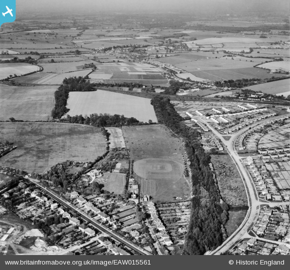
eaw015561 ENGLAND (1948). Beech Bottom Dyke between Beech Road and the Old Albanian Sports Ground, St Albans, from the south-west, 1948
© Copyright OpenStreetMap contributors and licensed by the OpenStreetMap Foundation. 2026. Cartography is licensed as CC BY-SA.
Details
| Title | [EAW015561] Beech Bottom Dyke between Beech Road and the Old Albanian Sports Ground, St Albans, from the south-west, 1948 |
| Reference | EAW015561 |
| Date | 13-May-1948 |
| Link | |
| Place name | ST ALBANS |
| Parish | |
| District | |
| Country | ENGLAND |
| Easting / Northing | 515116, 208936 |
| Longitude / Latitude | -0.33159879335057, 51.76679979206 |
| National Grid Reference | TL151089 |
Pins

sjb |
Sunday 11th of July 2021 12:44:03 AM | |
|
John W |
Thursday 9th of March 2017 10:15:14 PM | |
|
John W |
Thursday 9th of March 2017 10:13:09 PM | |
|
John W |
Thursday 9th of March 2017 10:11:42 PM | |
|
John W |
Thursday 9th of March 2017 10:09:39 PM | |
|
John W |
Saturday 9th of July 2016 03:22:24 PM | |
|
John W |
Saturday 9th of July 2016 03:20:46 PM | |
|
John W |
Saturday 9th of July 2016 03:20:13 PM | |
|
John W |
Saturday 9th of July 2016 03:18:41 PM |