
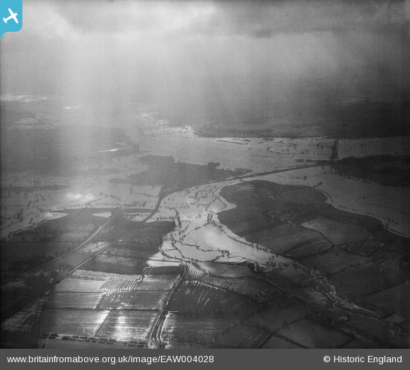
eaw004028 ENGLAND (1947). Flooding along the River Severn and Carrant Brook, Tewkesbury, from the north-east, 1947
© Copyright OpenStreetMap contributors and licensed by the OpenStreetMap Foundation. 2025. Cartography is licensed as CC BY-SA.
Details
| Title | [EAW004028] Flooding along the River Severn and Carrant Brook, Tewkesbury, from the north-east, 1947 |
| Reference | EAW004028 |
| Date | 21-March-1947 |
| Link | |
| Place name | TEWKESBURY |
| Parish | TEWKESBURY |
| District | |
| Country | ENGLAND |
| Easting / Northing | 390447, 233578 |
| Longitude / Latitude | -2.1391678580035, 52.00013601164 |
| National Grid Reference | SO904336 |
Pins
Be the first to add a comment to this image!