
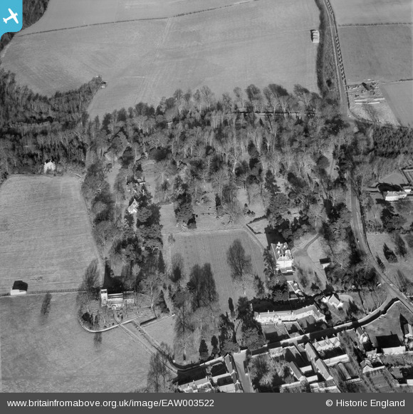
eaw003522 ENGLAND (1947). Great Billing Hall and St Andrew's Church, Great Billing, 1947
© Copyright OpenStreetMap contributors and licensed by the OpenStreetMap Foundation. 2025. Cartography is licensed as CC BY-SA.
Nearby Images (9)
EAW003522

EAW003527

EAW003529

EAW003528

EAW003526

EAW003525

EAW003521

EAW003524

EAW003523

Details
| Title | [EAW003522] Great Billing Hall and St Andrew's Church, Great Billing, 1947 |
| Reference | EAW003522 |
| Date | 16-January-1947 |
| Link | |
| Place name | GREAT BILLING |
| Parish | BILLING |
| District | |
| Country | ENGLAND |
| Easting / Northing | 480854, 263079 |
| Longitude / Latitude | -0.81524011470345, 52.259533370292 |
| National Grid Reference | SP809631 |
Pins
Be the first to add a comment to this image!