
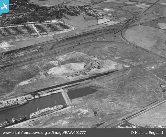
eaw001777 ENGLAND (1946). Bidston Dock and Bidston Moss, Bidston, 1946. This image has been produced from a print.
© Copyright OpenStreetMap contributors and licensed by the OpenStreetMap Foundation. 2026. Cartography is licensed as CC BY-SA.
Nearby Images (2)
EAW001777

EPW053314

Details
| Title | [EAW001777] Bidston Dock and Bidston Moss, Bidston, 1946. This image has been produced from a print. |
| Reference | EAW001777 |
| Date | 11-July-1946 |
| Link | |
| Place name | BIDSTON |
| Parish | |
| District | |
| Country | ENGLAND |
| Easting / Northing | 329450, 390952 |
| Longitude / Latitude | -3.0614644280154, 53.410397497044 |
| National Grid Reference | SJ295910 |
Pins

beast66606 |
Tuesday 9th of September 2014 11:56:29 AM | |
|
beast66606 |
Tuesday 9th of September 2014 11:56:11 AM | |
|
beast66606 |
Tuesday 9th of September 2014 11:55:45 AM |