
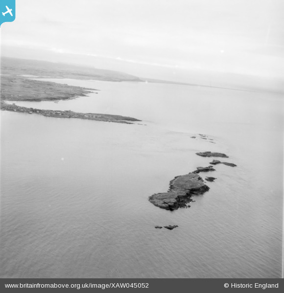
XAW045052 NORTHERN IRELAND (1952). The Skerries, Portrush, Coleraine, Northern Ireland, 1952. Oblique aerial photograph taken facing South/West.
© Copyright OpenStreetMap contributors and licensed by the OpenStreetMap Foundation. 2025. Cartography is licensed as CC BY-SA.
Details
| Title | [XAW045052] The Skerries, Portrush, Coleraine, Northern Ireland, 1952. Oblique aerial photograph taken facing South/West. |
| Reference | XAW045052 |
| Date | 1952 |
| Link | |
| Place name | PORTRUSH |
| Parish | NORTHERN IRELAND |
| District | |
| Country | NORTHERN IRELAND |
| Easting / Northing | 104383, 601316 |
| Longitude / Latitude | -6.649601, 55.217304 |
| National Grid Reference |
Pins
Be the first to add a comment to this image!