
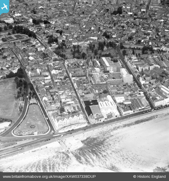
XAW037338DUP JERSEY (1951). Seafront, St Helier, Jersey, Jersey, 1951. Oblique aerial photograph taken facing South/West.
© Copyright OpenStreetMap contributors and licensed by the OpenStreetMap Foundation. 2025. Cartography is licensed as CC BY-SA.
Nearby Images (3)
XAW037338DUP

XAW037338

XPW043279

Details
| Title | [XAW037338DUP] Seafront, St Helier, Jersey, Jersey, 1951. Oblique aerial photograph taken facing South/West. |
| Reference | XAW037338DUP |
| Date | 21-June-1951 |
| Link | |
| Place name | ST HELIER |
| Parish | JERSEY |
| District | |
| Country | JERSEY |
| Easting / Northing | 391651, -79311 |
| Longitude / Latitude | -2.115869, 49.186822 |
| National Grid Reference |
Pins
Be the first to add a comment to this image!