
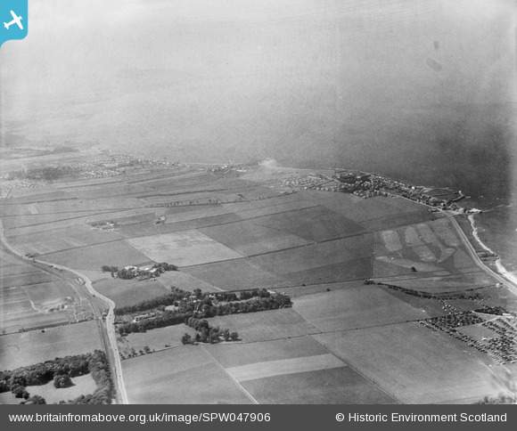
SPW047906 SCOTLAND (1935). An oblique aerial photograph taken facing west showing Port Seton Aerodrome and the Port Seton golf course in 1935.
© Copyright OpenStreetMap contributors and licensed by the OpenStreetMap Foundation. 2026. Cartography is licensed as CC BY-SA.
Details
| Title | [SPW047906] An oblique aerial photograph taken facing west showing Port Seton Aerodrome and the Port Seton golf course in 1935. |
| Reference | SPW047906 |
| Date | 1935 |
| Link | NRHE Collection item 1259471 |
| Place name | |
| Parish | TRANENT |
| District | EAST LOTHIAN |
| Country | SCOTLAND |
| Easting / Northing | 340560, 675320 |
| Longitude / Latitude | -2.9523590617827, 55.967244426149 |
| National Grid Reference | NT406753 |
