
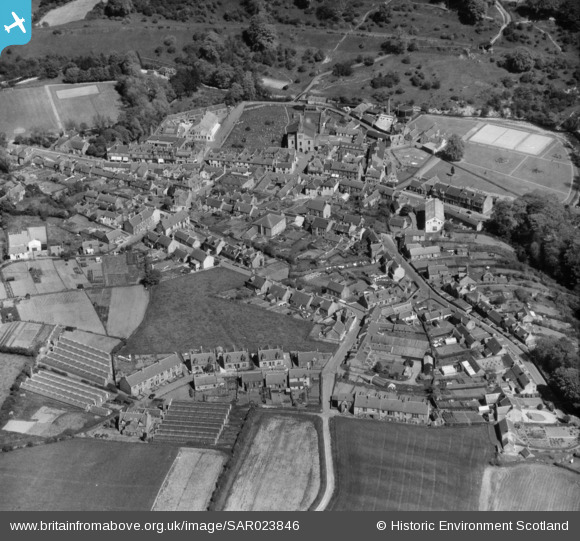
SAR023846 SCOTLAND (1955). General View Lesmahagow, Lanarkshire, Scotland. An oblique aerial photograph taken facing East.
© Copyright OpenStreetMap contributors and licensed by the OpenStreetMap Foundation. 2026. Cartography is licensed as CC BY-SA.
Details
| Title | [SAR023846] General View Lesmahagow, Lanarkshire, Scotland. An oblique aerial photograph taken facing East. |
| Reference | SAR023846 |
| Date | 1955 |
| Link | NRHE Collection item 1438383 |
| Place name | |
| Parish | LESMAHAGOW |
| District | CLYDESDALE |
| Country | SCOTLAND |
| Easting / Northing | 281240, 639790 |
| Longitude / Latitude | -3.8868560610851, 55.637141836969 |
| National Grid Reference | NS812398 |
Pins
Be the first to add a comment to this image!