
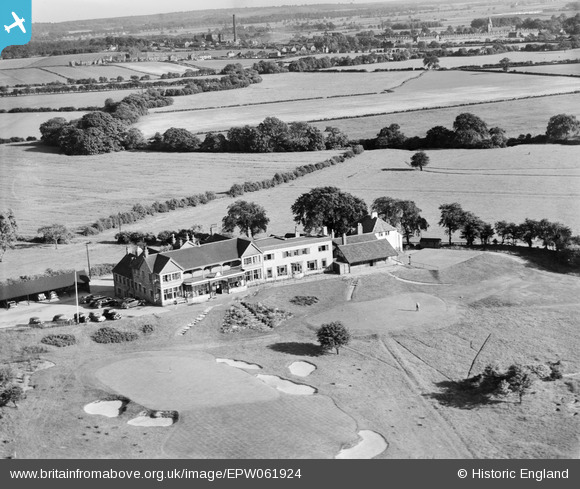
EPW061924 ENGLAND (1939). The Club House at Lindrick Golf Course, Lindrick Common, 1939
© Copyright OpenStreetMap contributors and licensed by the OpenStreetMap Foundation. 2025. Cartography is licensed as CC BY-SA.
Nearby Images (2)
EPW061924

EPW061925

Details
| Title | [EPW061924] The Club House at Lindrick Golf Course, Lindrick Common, 1939 |
| Reference | EPW061924 |
| Date | 6-June-1939 |
| Link | |
| Place name | LINDRICK COMMON |
| Parish | NORTH AND SOUTH ANSTON |
| District | |
| Country | ENGLAND |
| Easting / Northing | 455228, 382353 |
| Longitude / Latitude | -1.1705365193607, 53.334929950196 |
| National Grid Reference | SK552824 |
Pins
Be the first to add a comment to this image!