
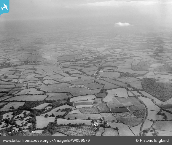
EPW059579 ENGLAND (1938). Countryside around Udiam and the River Rother, Bodiam, from the west, 1938
© Copyright OpenStreetMap contributors and licensed by the OpenStreetMap Foundation. 2025. Cartography is licensed as CC BY-SA.
Nearby Images (2)
EPW059579

EPW059577

Details
| Title | [EPW059579] Countryside around Udiam and the River Rother, Bodiam, from the west, 1938 |
| Reference | EPW059579 |
| Date | 23-September-1938 |
| Link | |
| Place name | BODIAM |
| Parish | BODIAM |
| District | |
| Country | ENGLAND |
| Easting / Northing | 576750, 124599 |
| Longitude / Latitude | 0.5189311597012, 50.993065654374 |
| National Grid Reference | TQ768246 |
Pins

Railway Routes |
Sunday 28th of February 2021 10:24:45 AM | |
|
Railway Routes |
Sunday 28th of February 2021 10:24:17 AM | |
|
Railway Routes |
Sunday 28th of February 2021 10:23:26 AM | |
|
Railway Routes |
Sunday 28th of February 2021 10:22:58 AM | |
|
Railway Routes |
Sunday 28th of February 2021 10:22:34 AM | |
|
Railway Routes |
Sunday 28th of February 2021 10:21:47 AM | |
|
Railway Routes |
Sunday 28th of February 2021 10:20:56 AM |