
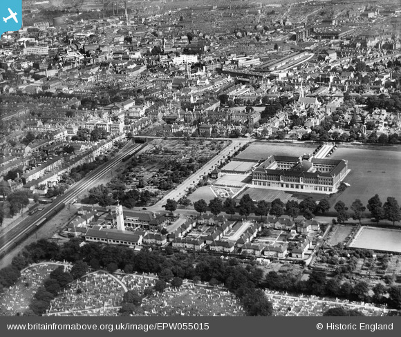
EPW055015 ENGLAND (1937). Wyggeston Girls School, Leicester Fire Station and environs, Leicester, 1937
© Copyright OpenStreetMap contributors and licensed by the OpenStreetMap Foundation. 2025. Cartography is licensed as CC BY-SA.
Details
| Title | [EPW055015] Wyggeston Girls School, Leicester Fire Station and environs, Leicester, 1937 |
| Reference | EPW055015 |
| Date | August-1937 |
| Link | |
| Place name | LEICESTER |
| Parish | |
| District | |
| Country | ENGLAND |
| Easting / Northing | 459214, 303553 |
| Longitude / Latitude | -1.125106792607, 52.62615135396 |
| National Grid Reference | SK592036 |
Pins

John W |
Friday 16th of December 2016 08:53:27 PM | |
|
John W |
Friday 16th of December 2016 08:51:34 PM | |
|
John W |
Friday 16th of December 2016 08:46:47 PM | |
|
John W |
Friday 16th of December 2016 08:42:38 PM | |
|
John W |
Friday 16th of December 2016 08:42:03 PM |