
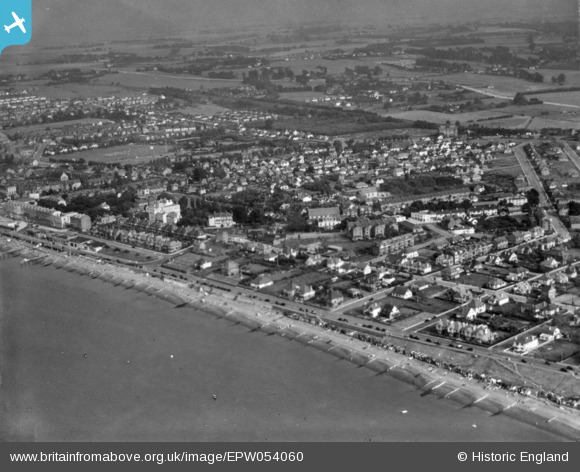
EPW054060 ENGLAND (1937). The town, Herne Bay, from the north-west, 1937. This image has been produced from a print.
© Copyright OpenStreetMap contributors and licensed by the OpenStreetMap Foundation. 2025. Cartography is licensed as CC BY-SA.
Details
| Title | [EPW054060] The town, Herne Bay, from the north-west, 1937. This image has been produced from a print. |
| Reference | EPW054060 |
| Date | June-1937 |
| Link | |
| Place name | HERNE BAY |
| Parish | |
| District | |
| Country | ENGLAND |
| Easting / Northing | 616542, 168213 |
| Longitude / Latitude | 1.1114978273098, 51.371119521724 |
| National Grid Reference | TR165682 |
Pins
Be the first to add a comment to this image!