
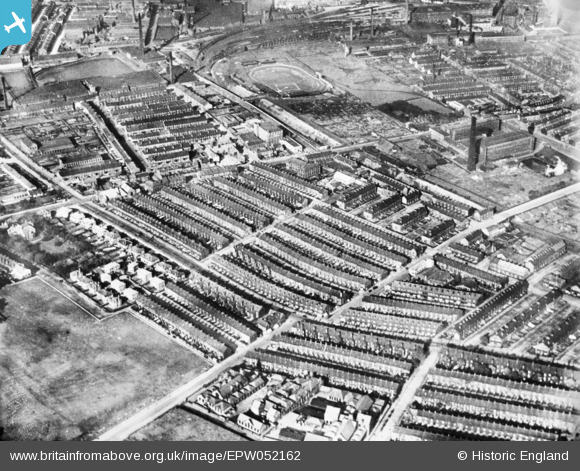
EPW052162 ENGLAND (1936). Terraced housing to the west of Legrams Mill, Bradford, 1936. This image has been produced from a copy-negative.
© Copyright OpenStreetMap contributors and licensed by the OpenStreetMap Foundation. 2025. Cartography is licensed as CC BY-SA.
Nearby Images (2)
EPW052162

EAW030796

Details
| Title | [EPW052162] Terraced housing to the west of Legrams Mill, Bradford, 1936. This image has been produced from a copy-negative. |
| Reference | EPW052162 |
| Date | October-1936 |
| Link | |
| Place name | BRADFORD |
| Parish | |
| District | |
| Country | ENGLAND |
| Easting / Northing | 414683, 432658 |
| Longitude / Latitude | -1.7771010265473, 53.789815618294 |
| National Grid Reference | SE147327 |
