
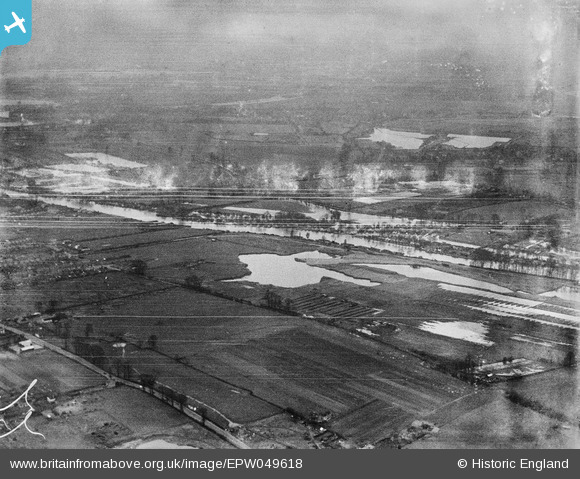
EPW049618 ENGLAND (1936). The River Thames around Sunbury Weir and environs, Walton-on-Thames, from the east, 1936. This image has been produced from a damaged negative.
© Copyright OpenStreetMap contributors and licensed by the OpenStreetMap Foundation. 2025. Cartography is licensed as CC BY-SA.
Details
| Title | [EPW049618] The River Thames around Sunbury Weir and environs, Walton-on-Thames, from the east, 1936. This image has been produced from a damaged negative. |
| Reference | EPW049618 |
| Date | January-1936 |
| Link | |
| Place name | WALTON-ON-THAMES |
| Parish | |
| District | |
| Country | ENGLAND |
| Easting / Northing | 510833, 167878 |
| Longitude / Latitude | -0.40661057520932, 51.398599162093 |
| National Grid Reference | TQ108679 |
Pins
Be the first to add a comment to this image!