
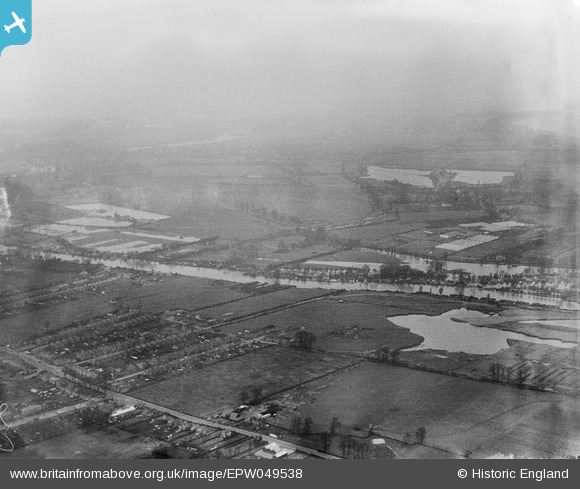
EPW049538 ENGLAND (1936). River Thames in flood around Wheatley's Eyot, Walton-on-Thames, from the east, 1936
© Copyright OpenStreetMap contributors and licensed by the OpenStreetMap Foundation. 2026. Cartography is licensed as CC BY-SA.
Details
| Title | [EPW049538] River Thames in flood around Wheatley's Eyot, Walton-on-Thames, from the east, 1936 |
| Reference | EPW049538 |
| Date | January-1936 |
| Link | |
| Place name | WALTON-ON-THAMES |
| Parish | |
| District | |
| Country | ENGLAND |
| Easting / Northing | 510627, 167398 |
| Longitude / Latitude | -0.40972056169485, 51.394324565372 |
| National Grid Reference | TQ106674 |
Pins
Be the first to add a comment to this image!