
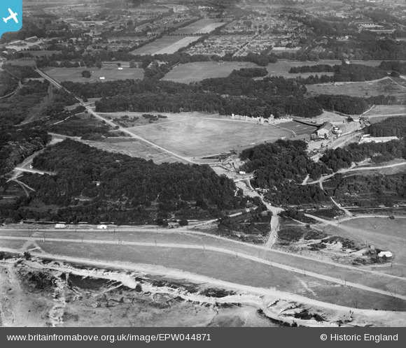
EPW044871 ENGLAND (1934). The Rushmoor Arena (Tattoo and Horse Show Ground and environs), Aldershot, 1934
© Copyright OpenStreetMap contributors and licensed by the OpenStreetMap Foundation. 2025. Cartography is licensed as CC BY-SA.
Nearby Images (3)
EPW044871
, Aldershot, 1934")
EPW032245

EPW032246

Details
| Title | [EPW044871] The Rushmoor Arena (Tattoo and Horse Show Ground and environs), Aldershot, 1934 |
| Reference | EPW044871 |
| Date | 13-June-1934 |
| Link | |
| Place name | ALDERSHOT |
| Parish | |
| District | |
| Country | ENGLAND |
| Easting / Northing | 484950, 152002 |
| Longitude / Latitude | -0.78239960396048, 51.260330222423 |
| National Grid Reference | SU850520 |
Pins

flubber |
Monday 8th of July 2013 05:24:30 PM | |
|
flubber |
Wednesday 29th of May 2013 06:36:33 PM | |
|
flubber |
Wednesday 22nd of May 2013 06:23:13 PM | |
|
flubber |
Wednesday 22nd of May 2013 06:22:13 PM | |
|
flubber |
Wednesday 22nd of May 2013 06:21:38 PM |